Spatial Analysis Lab
The Spatial Analysis Lab (the SAL) is a mapping lab dedicated to thoughtful and creative spatial data collection, analysis, and visualization. We strive to promote spatial literacy and spatial justice across the curriculum.
Our approach centers 1) using GIS, drones, and other technologies in ways that are ethical, usable to a diverse range of people, and appropriate. We also center 2) collaboration with communities at and beyond Smith College to enhance curricular and co-curricular opportunities. Through this, we seek to 3) create accessible, understandable, and compelling maps and datasets.
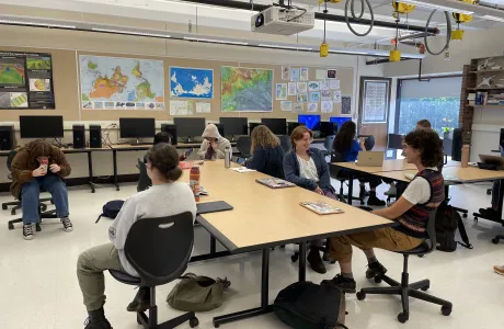
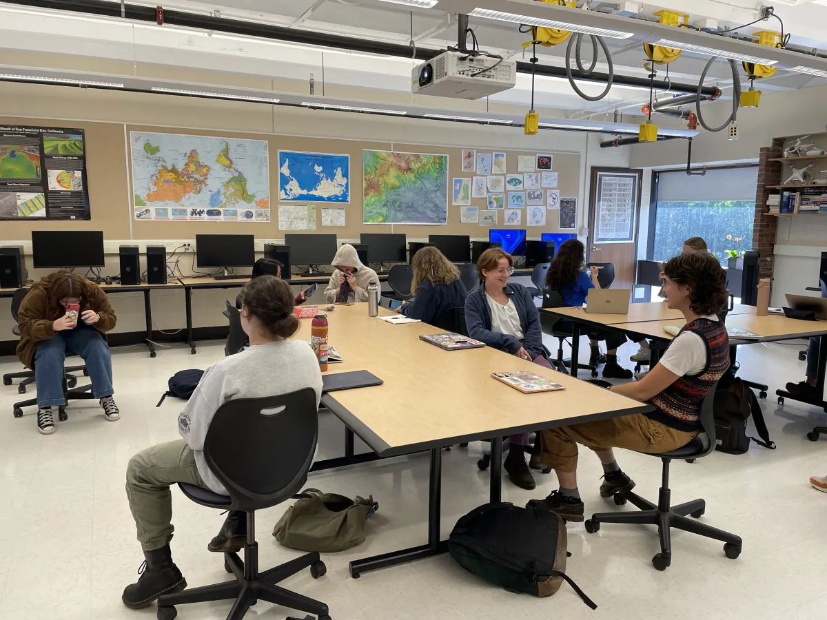
The scope of our work includes teaching, research, and making, as well as managing two classroom lab spaces.
The SAL is available to create high-quality, creative, and accessible maps; aerial imagery and videos; and data for print and digital use.
Want to learn more about the SAL and its resources? Check out our Science Center site or sign up for our mailing list.
Research
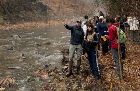
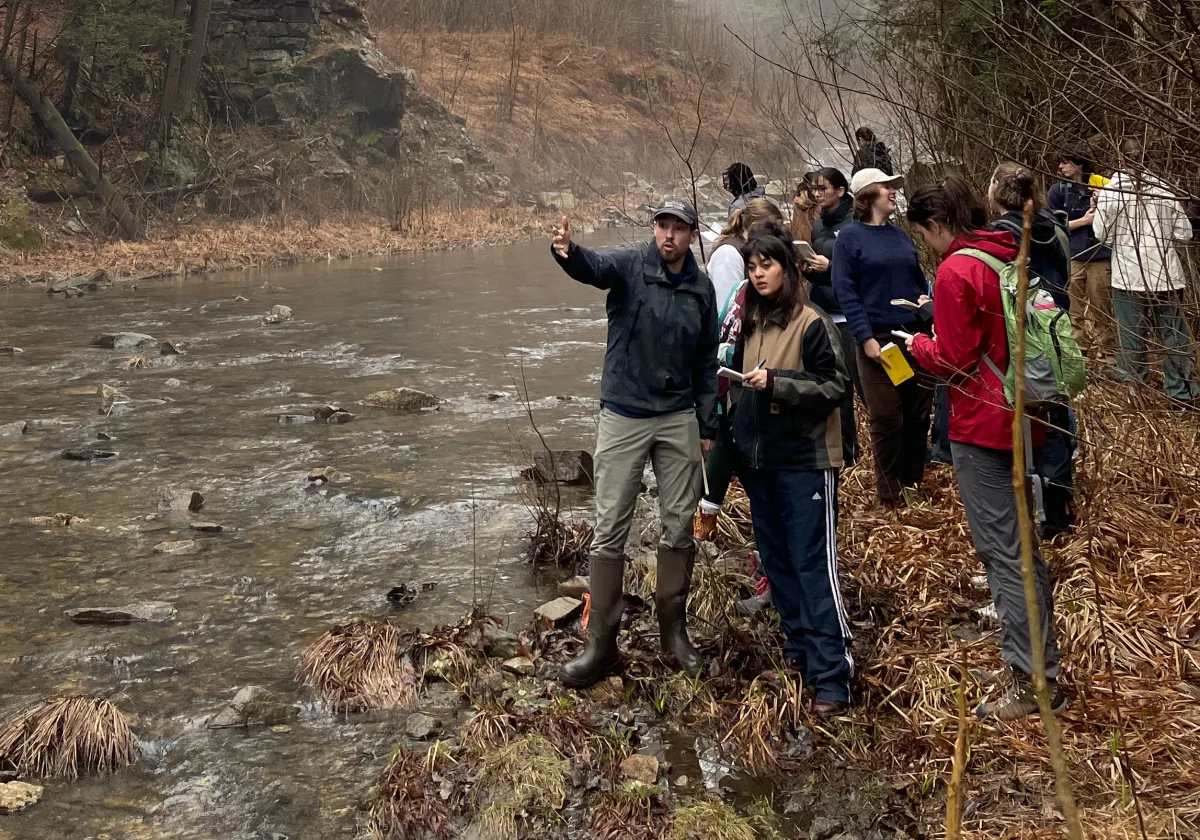
We’re always up to something good at the SAL. Check out some ways we engage with the campus and the community through research.
Teaching

Photo by Jessica Scranton
Spaces
Opportunities
Faculty, staff, and students can start a conversation about a fall semester or future class or project via our online form.
Students: we are currently hiring paid SAL associates to work with us this fall and spring! Learn more and apply.
Contact the Spatial Analysis Lab
Sabin-Reed 104
Smith College
Northampton, MA 01063


